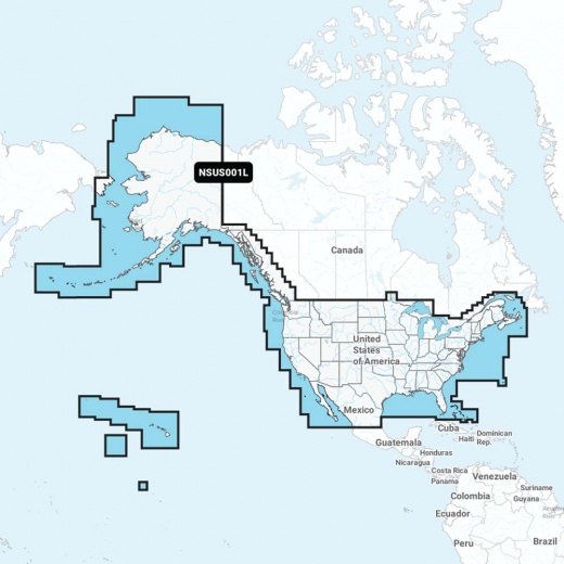
Garmin Navionics+ NSUS001L US & Coastal Canada: Ultimate Marine Mapping Experience
SKU: CWR-92669
Out of stock
Out of stock
- Unparalleled coverage and clarity for offshore and inland waters, lakes, rivers, and more
- Integrated mapping feature with dock-to-dock route guidance technology
- SonarChart 1' (0.5 meters) HD bathymetry maps for exceptional detail
- Live mapping feature to create personal 1' HD bathymetry maps in real-time
- Seamless integration with Garmin chartplotter for wireless chart updates and data transfer
Description
Whether you're a seasoned angler or a casual cruiser, the Garmin Navionics+ NSUS001L US & Coastal Canada has got you covered. The integrated mapping feature provides exceptional coverage, clarity, and detail, making it easy to navigate even the most unfamiliar waters. Plus, with advanced features like dock-to-dock route guidance technology, you'll always know the safest and most efficient route to take.
But that's not all - the Garmin Navionics+ NSUS001L US & Coastal Canada also comes with a range of innovative features designed to enhance your boating experience. The SonarChart 1' (0.5 meters) HD bathymetry maps provide an unparalleled level of detail, allowing you to pinpoint the best fishing spots with ease. And with the live mapping feature, you can create your own personal 1' HD bathymetry maps in real-time, giving you a truly immersive experience.
In addition to its impressive mapping capabilities, the Garmin Navionics+ NSUS001L US & Coastal Canada also comes with a range of features designed to aid in navigation. The shallow water shading feature allows you to highlight depths up to a user-defined level, making it easy to navigate through even the most treacherous waters. And with the advanced fishing range feature, you can highlight a target depth range and pinpoint the best fishing spots with ease.
But what really sets the Garmin Navionics+ NSUS001L US & Coastal Canada apart is its seamless integration with your Garmin chartplotter. With the Navionics Boating app, you can access daily chart updates wirelessly, ensuring you always have the most up-to-date information at your fingertips. And with the Plotter Sync feature, you can transfer your charts and data wirelessly, making it easy to plan your route and navigate with confidence.
Whether you're a seasoned pro or just starting out, the Garmin Navionics+ NSUS001L US & Coastal Canada is the ultimate tool for anyone looking to take their boating experience to the next level. With its unparalleled mapping capabilities, innovative features, and seamless integration with your Garmin chartplotter, this is one product you won't want to miss. So why wait? Get your Garmin Navionics+ NSUS001L US & Coastal Canada today and start exploring the world's waterways like never before.
Shipping specs
Shipping from
This product is shipped from our supplier's warehouse in NJ, United States
Our guarantee
This product is brand new and includes the manufacturer's warranty, so you can buy with confidence.
Return policy
A 25% handling charge is levied against all authorized returns except those due to our error. Unauthorized returns are subject to a 40% handling charge. Damages & defects must be reported to us within 14 days. Product questions