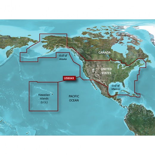
Garmin Bluechart® G3 Hd - Hxus604x - Us All & Canadian West - Microsd™/Sd™
SKU: CWR-35811
Unit Price
Quantity
Subtotal
US$ 280.60
US$ 280.60
US$ 278.921%
2
US$ 277.931%
3
Options
Description
With the Garmin BlueChart g3 HD, you can experience industry-leading coverage, clarity, and detail, thanks to the integration of Garmin and Navionics data. Auto Guidance technology is also included, which uses your desired depth and overhead clearance to calculate routes and provide a suggested path to follow, overlaid onto your chart. For added convenience, NOAA raster cartography is available as a free downloadable feature via the ActiveCaptain app, providing paper chart-like views of NOAA-surveyed areas with labeled points of interest.
The Garmin BlueChart g3 HD - HXUS604x also boasts a range of innovative features designed to enhance your navigation experience. Depth Range Shading allows you to view your designated target depth, while Shallow Water Shading aids in navigation by providing a clear picture of shallow waters to avoid. With up to 1’ contours, you'll gain a more accurate depiction of the bottom structure, making it ideal for fishing charts and navigation in swamps, canals, and marinas.
Whether you're a seasoned angler or a recreational boater, the Garmin BlueChart g3 HD - HXUS604x is the perfect tool to help you navigate with confidence. With its unparalleled coastal chart coverage and cutting-edge features, you'll be able to explore new waters with ease. The Garmin BlueChart g3 HD is compatible with a range of Garmin chartplotters, ensuring that you can take your navigation to the next level.
In addition to its impressive coverage and features, the Garmin BlueChart g3 HD - HXUS604x is designed to provide you with the most accurate and up-to-date information available. With regular updates and new data added regularly, you can rest assured that you'll always have the latest information at your fingertips.
Experience the ultimate in coastal chart coverage with the Garmin BlueChart g3 HD - HXUS604x. With its unparalleled coverage, innovative features, and commitment to accuracy, this microSD/SD card is the perfect addition to your navigation arsenal.
Shipping specs
Shipping from
This product is shipped from our supplier's warehouse in NJ, United States
Our guarantee
This product is brand new and includes the manufacturer's warranty, so you can buy with confidence.
Return policy
A 25% handling charge is levied against all authorized returns except those due to our error. Unauthorized returns are subject to a 40% handling charge. Damages & defects must be reported to us within 14 days. Product questions