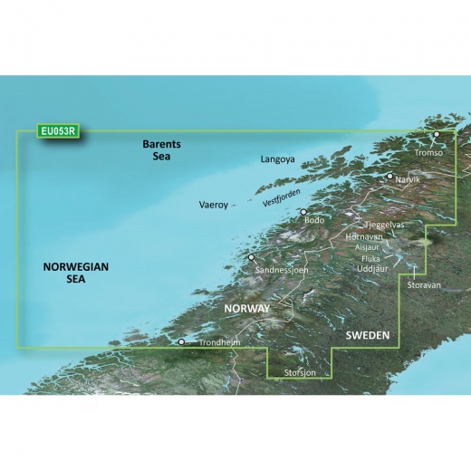
Garmin Bluechart G3 HD - HXEU053R - Trondheim - Tromso - microSD/SD Card
SKU: CWR-35650
Out of stock
Out of stock
- Industry-leading coverage, clarity, and detail of Norway's coastline from Trondheim to Tromso
- Auto Guidance technology calculates a suggested route based on your desired depth and overhead clearance
- Depth Range Shading feature allows you to view your target depth at a glance with up to 10 depth ranges displayed in high-resolution detail
- Seamless integration of Garmin and Navionics data for highly accurate and detailed charts
- NOAA raster cartography available as a free downloadable feature via the ActiveCaptain app
Options
Description
At the heart of the Garmin Bluechart G3 HD is its cutting-edge Auto Guidance technology, which empowers you to navigate with confidence by calculating a suggested route based on your desired depth and overhead clearance. This innovative feature provides a safe and efficient passage, even in unfamiliar waters. Furthermore, the chart's Depth Range Shading feature allows you to view your target depth at a glance, with up to 10 depth ranges displayed in high-resolution detail.
The Garmin Bluechart G3 HD is renowned for its industry-leading coverage, clarity, and detail, thanks to its seamless integration of Garmin and Navionics data. This synergy results in a chart that is both highly accurate and incredibly detailed, making it an indispensable tool for mariners, anglers, and explorers alike. The chart's 1’ contours provide a precise depiction of the seafloor, enabling you to pinpoint the most promising fishing spots and navigate through treacherous waters with ease.
In addition to its advanced features, the Garmin Bluechart G3 HD also offers NOAA raster cartography as a free downloadable feature via the ActiveCaptain app. This innovative feature presents your chartplotter with a paper chart-like view of NOAA-surveyed areas, complete with labeled points of interest and corresponding longitude and latitude information.
The Garmin Bluechart G3 HD is an essential navigation tool for anyone exploring the Norwegian coastline. With its unparalleled level of detail, advanced features, and seamless integration with Garmin and Navionics data, this chart is the perfect companion for mariners seeking to navigate these majestic waters with confidence and precision.
Whether you're a seasoned sailor, a passionate angler, or simply an adventure-seeker, the Garmin Bluechart G3 HD - HXEU053R - Trondheim - Tromso - microSD/SD card is an indispensable tool for anyone seeking to explore the wonders of Norway's coastline. With its industry-leading coverage, clarity, and detail, this chart is sure to elevate your navigation experience and leave you wanting more.
Shipping specs
Shipping from
This product is shipped from our supplier's warehouse in NJ, United States
Our guarantee
This product is brand new and includes the manufacturer's warranty, so you can buy with confidence.
Return policy
A 25% handling charge is levied against all authorized returns except those due to our error. Unauthorized returns are subject to a 40% handling charge. Damages & defects must be reported to us within 14 days. Product questions