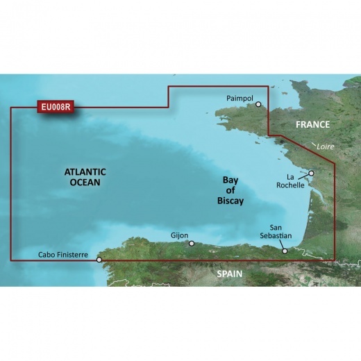
Garmin Bluechart G3 HD - HXEU008R - Bay of Biscay - MicroSD/SD
SKU: CWR-35606
Out of stock
Out of stock
- Industry-leading coverage and clarity with integrated Garmin and Navionics data
- Auto Guidance technology for route planning and hazard avoidance
- Depth Range Shading feature displays high-resolution depth ranges for up to 10 different depths
- Incredibly detailed contours with 1' contours for improved fishing charts and enhanced detail
- Shallow Water Shading feature allows you to set your desired depth and avoid shallow waters
Options
Description
One of the standout features of the BlueChart g3 is its Auto Guidance technology, which uses your desired depth and overhead clearance to calculate routes and provide a suggested path to follow. This feature is perfect for planning your route and avoiding shallow waters or other hazards. Additionally, the Depth Range Shading feature displays high-resolution depth ranges for up to 10 different depths, allowing you to view your target depth at a glance. This is especially useful for fishermen who need to target specific depths to snag the big catch.
The BlueChart g3 also features incredibly detailed contours, with 1' contours providing a more accurate depiction of bottom structure for improved fishing charts and enhanced detail in swamps, canals, and port plans. And with Shallow Water Shading, you can set your desired depth and avoid shallow waters. The chart also includes NOAA raster cartography as a free downloadable feature via the ActiveCaptain app, giving you paper chart-like views of NOAA-surveyed areas with labeled points of interest and corresponding longitude and latitude information.
Garmin's BlueChart g3 is an essential tool for anyone who spends time on the water. Whether you're a seasoned fisherman, a sailor, or just a boater, this advanced chart plotting system will give you the confidence and clarity you need to navigate with ease. With its unparalleled coverage and innovative features, the BlueChart g3 is the perfect choice for anyone looking to take their water-based adventures to the next level.
The BlueChart g3 is available as a microSD/SD card, making it easy to install and use on your chartplotter. With its powerful features and industry-leading coverage, this chart plotting system is an investment that will pay for itself time and time again.
In short, the Garmin Bluechart G3 HD - HXEU008R - Bay of Biscay - microSD/SD is the ultimate chart plotting system for anyone who wants to experience the best in coastal navigation. With its comprehensive coverage, innovative features, and unparalleled accuracy, this system is the perfect choice for anyone looking to take their water-based adventures to new heights.
Shipping specs
Shipping from
This product is shipped from our supplier's warehouse in NJ, United States
Our guarantee
This product is brand new and includes the manufacturer's warranty, so you can buy with confidence.
Return policy
A 25% handling charge is levied against all authorized returns except those due to our error. Unauthorized returns are subject to a 40% handling charge. Damages & defects must be reported to us within 14 days. Product questions