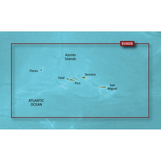
Garmin Bluechart® G3 Vision® Hd - Veu502s - Azores Islands - Microsd™/Sd™
SKU: CWR-30814
Out of stock
Out of stock
Options
Description
The BlueChart g3 Vision HD chart is designed to provide the most accurate and detailed navigation experience possible. With integrated Garmin and Navionics content, you'll benefit from industry-leading coverage, clarity, and detail, making it ideal for fishermen, cruisers, and sailors alike. The chart's auto guidance technology quickly calculates a suggested route based on your desired depth and overhead clearance, giving you peace of mind as you navigate the islands' waters.
One of the standout features of the Garmin Bluechart g3 Vision HD chart is its advanced visual representations. The chart's depth range shading feature displays high-resolution depth information for up to 10 depth ranges, allowing you to view your target depth at a glance. Additionally, the shallow water shading feature enables you to define a custom depth, giving you a clear picture of shallow waters to avoid. The chart's detailed contours, with 1' intervals, provide a more accurate depiction of the bottom structure, making it perfect for fishing charts and enhanced detail in swamps, canals, and port plans.
The Garmin Bluechart g3 Vision HD chart doesn't stop there. Its high-resolution satellite imagery, overlaid with navigational charts, gives you a realistic view of your surroundings, making it ideal for entering unfamiliar harbors or ports. The chart's FishEye view provides a 3-D representation of the bottom and contours as seen from below the waterline, while the MarinerEye view offers a 3-D representation of the surrounding area both above and below the waterline. With aerial photography that shows exceptional detail of many ports, harbors, and marinas, you'll have the confidence to navigate the Azores Islands with precision.
Whether you're a seasoned sailor or a newcomer to the Azores Islands, the Garmin Bluechart g3 Vision HD chart is an essential tool for ensuring a safe and enjoyable navigation experience. With its unparalleled coverage and brilliant detail, this chart is the perfect addition to your Garmin chartplotter. Upgrade your navigation experience today and explore the Azores Islands like never before.
The Garmin brand is synonymous with quality and innovation, and the Bluechart g3 Vision HD chart is no exception. As a leader in the marine navigation industry, Garmin continues to push the boundaries of what's possible, providing sailors, fishermen, and cruisers with the tools they need to navigate the world's waterways with confidence. With the Garmin Bluechart g3 Vision HD chart, you can trust that you're getting the best possible navigation experience, backed by a brand that's dedicated to helping you make the most of your time on the water.
Shipping specs
Shipping from
This product is shipped from our supplier's warehouse in NJ, United States
Our guarantee
This product is brand new and includes the manufacturer's warranty, so you can buy with confidence.
Return policy
A 25% handling charge is levied against all authorized returns except those due to our error. Unauthorized returns are subject to a 40% handling charge. Damages & defects must be reported to us within 14 days. Product questions