Garmin Navionics Vision+ Nveu073r - Italy, Lakes & Rivers - Marine Chart
SKU: CWR-96395
Out of stock
Out of stock
Description
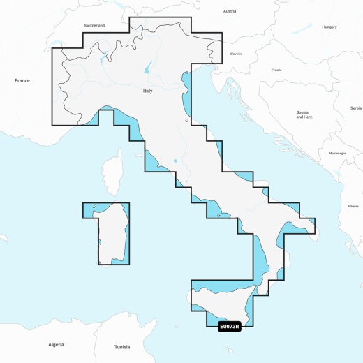
Combining the best of Garmin and Navionics content, the Navionics Vision+ cartography offers comprehensive coverage of Italy's lakes and rivers, including the Po River and Lago Maggiore, Lago d'Iseo, Lago di Como, and Lago di Garda. With Auto Guidance+ technology, you'll have access to a suggested dock-to-dock path that guides you effortlessly through channels, inlets, marina entrances, and more. Plus, with daily chart updates via the ActiveCaptain app, you can rest assured that your navigation experience is always up-to-date.
One of the standout features of this marine chart is its customizable depth range shading, which allows you to select up to 10 color-shaded options to highlight specific target depths. This feature, combined with high-resolution depth range shading, gives you a clear picture of the underwater landscape, making it easier to spot the best fishing spots. Additionally, the chart's up to 1' contours provide an exceptionally detailed depiction of bottom structure, allowing for more precise fishing and navigation.
The Navionics Vision+ NVEU073R also boasts an array of innovative features, including shallow water shading, which allows you to define a user-defined depth for shallow waters, and high-resolution satellite imagery, which provides superior situational awareness. With the ActiveCaptain community, you'll gain access to community-sourced content, including useful POIs, such as marinas, anchorages, hazards, businesses, and more. Furthermore, the chart's aerial photography features crystal-clear images of ports, marinas, bridges, docks, boat ramps, dams, and navigational landmarks, providing an unparalleled sense of your surroundings above the waterline.
In terms of customization, the Garmin Navionics Vision+ NVEU073R offers an impressive range of options. With up to 10 color-shaded target depth ranges, you can tailor your navigation experience to suit your specific needs. What's more, the chart's 3D Fisheye View and 3D Marinereye View provide an immersive underwater perspective, allowing you to visualize the surrounding environment like never before.
With the Garmin Navionics Vision+ NVEU073R, you can be confident that you're receiving the most accurate and up-to-date marine chart available. This product is designed to work seamlessly with compatible Garmin chart plotters, ensuring a smooth and intuitive navigation experience. If you're looking for a marine chart that will take your navigation to the next level, look no further than the Garmin Navionics Vision+ NVEU073R - Italy, Lakes & Rivers - Marine Chart.
Shipping specs
Shipping from
This product is shipped from our supplier's warehouse in NJ, United States
Our guarantee
This product is brand new and includes the manufacturer's warranty, so you can buy with confidence.
Return policy
A 25% handling charge is levied against all authorized returns except those due to our error. Unauthorized returns are subject to a 40% handling charge. Damages & defects must be reported to us within 14 days. Customer reviews
By feature
No reviews
Product questions