Garmin Navionics Vision+ NVEU060R - Germany, Lakes & Rivers - Inland Marine Chart
SKU: CWR-96385
Out of stock
Out of stock
- Experience the most up-to-date and detailed cartography available with vibrant colors and a streamlined interface
- Multiple shading options allow for shallow water navigation and highlighting a target depth range to identify the best fishing spots
- Fully customizable chart layers, overlay combinations, and up to 10 color-shaded target depth ranges for a tailored navigation experience
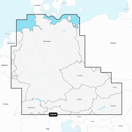
- Detailed coverage of the German North Sea and Baltic coast, as well as the German inland waterway system and numerous lakes
- Auto Guidance+ technology provides a suggested dock-to-dock path to follow through channels, inlets, marina entrances, and more
Description
Multiple shading options allow for shallow water navigation, and you can highlight a target depth range to identify the best fishing spots. Plus, with fully customizable chart layers, overlay combinations, and up to 10 color-shaded target depth ranges, you'll be able to scope out the best fishing spots with ease. And, when you purchase this product, you'll receive a one-year subscription to ensure you have access to the latest updates and features.
This comprehensive chart provides detailed coverage of the German North Sea and Baltic coast, as well as the German inland waterway system and numerous lakes. You'll have access to the entirety of the Rhine River, the Main River to Bamberg, the Danube River to Budapest, and many more. Whether you're a seasoned angler or just starting out, this chart provides the level of detail and accuracy you need to plan and execute a successful fishing trip.
The Garmin Navionics Vision+ NVEU060R also features Auto Guidance+ technology, which provides a suggested dock-to-dock path to follow through channels, inlets, marina entrances, and more. This feature, combined with high-resolution depth range shading and up to 1' contours, provides a clear depiction of bottom structure and enhanced detail in swamps, canals, harbors, marinas, and more.
In addition to its advanced navigation features, the Garmin Navionics Vision+ NVEU060R also includes a range of community-sourced content, including useful points of interest such as marinas, anchorages, hazards, businesses, and more. You'll also have access to downloadable high-resolution satellite imagery, providing superior situational awareness. And, with 3D Fisheye View and 3D Marinereye View, you'll be able to visualize your surroundings in stunning detail.
This chart is compatible with a range of Garmin chartplotters and is available on a MicroSD/SD card. With its unparalleled level of detail and accuracy, the Garmin Navionics Vision+ NVEU060R - Germany, Lakes & Rivers - Inland Marine Chart is the ultimate tool for any serious angler or boater.
Shipping specs
Shipping from
This product is shipped from our supplier's warehouse in NJ, United States
Our guarantee
This product is brand new and includes the manufacturer's warranty, so you can buy with confidence.
Return policy
A 25% handling charge is levied against all authorized returns except those due to our error. Unauthorized returns are subject to a 40% handling charge. Damages & defects must be reported to us within 14 days. Product questions