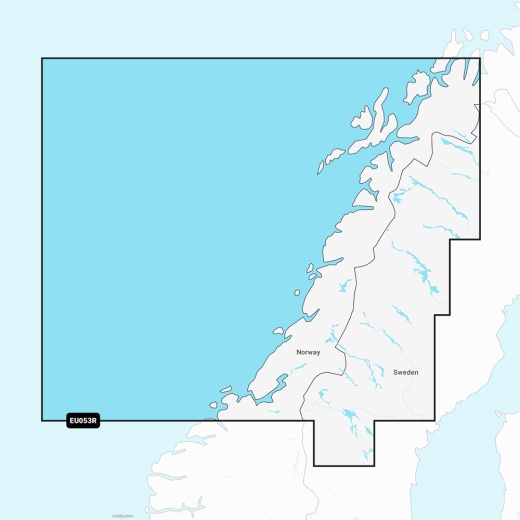
Garmin Navionics Vision+ NVEU053R - Norway, Trondheim to Tromso - Marine Chart
SKU: CWR-96382
Out of stock
Out of stock
- Streamlined interface with vibrant colors and combined coastal/inland content
- Multiple shading options for shallow water navigation and highlighting target depth ranges for fishing
- Customizable chart layers, overlay combinations, and up to 10 color-shaded target depth ranges
- One-year subscription with daily chart updates via the ActiveCaptain app
- Auto Guidance+ technology for suggested dock-to-dock paths and Depth Range Shading feature for selecting target depths
Description
With the Garmin Navionics Vision+, you can enjoy a streamlined interface, vibrant colors, and combined coastal/inland content, making it easy to plot your course. The chart also features multiple shading options to aid in shallow water navigation and highlight a target depth range for the best fishing spots. You can fully customize the chart with various chart layers, overlay combinations, and up to 10 color-shaded target depth ranges to scope out the best fishing spots.
Upon purchasing the Garmin Navionics Vision+ NVEU053R, you'll receive a one-year subscription, which grants you access to daily chart updates via the ActiveCaptain app. This means you'll always have the most accurate and updated information at your fingertips. The Auto Guidance+ technology provides a suggested dock-to-dock path to follow through channels, inlets, marina entrances, and more, while the Depth Range Shading feature lets you select up to 10 color-shaded options and view your designated target depths at a glance.
The Garmin Navionics Vision+ NVEU053R also boasts high-resolution depth range shading, up to 1' contours, and shallow water shading, giving you a clear picture of shallow waters to avoid. The ActiveCaptain Community provides useful POIs, such as marinas, anchorages, hazards, businesses, and more, while the downloadable high-resolution satellite imagery provides superior situational awareness. You can also enjoy aerial and surface photos of ports, marinas, bridges, docks, boat ramps, dams, and navigational landmarks, giving you a better sense of your surroundings above the waterline.
Additionally, the 3D Fisheye View shows a 3D representation of the bottom and contours as seen from below the waterline, which can be customized with sonar data. The 3D Marinereye View provides a 3D representation of the surrounding area both above and below the waterline. The Dynamic Lake Level feature allows you to adjust your maps to the lake's current water levels, ensuring you can see if spots are accessible or too shallow to explore.
With the Garmin Navionics Vision+ NVEU053R, you'll experience the ultimate in marine navigation. This chartplotter is compatible with a range of devices and is delivered on a MicroSD/SD card. Upgrade your navigation today with the Garmin Navionics Vision+ NVEU053R - Norway, Trondheim to Tromso - Marine Chart.
Shipping specs
Shipping from
This product is shipped from our supplier's warehouse in NJ, United States
Our guarantee
This product is brand new and includes the manufacturer's warranty, so you can buy with confidence.
Return policy
A 25% handling charge is levied against all authorized returns except those due to our error. Unauthorized returns are subject to a 40% handling charge. Damages & defects must be reported to us within 14 days. Product questions