Garmin Navionics Vision+ NVEU063R - Black Sea & Azov Sea - Marine Chart
Out Of Stock
FIND SIMILAR PRODUCTS
Explore the world's oceans with unparalleled clarity and precision with the Garmin Navionics Vision+ NVEU063R - Black Sea & Azov Sea - Marine Chart, the ultimate navigation solution for mariners, fishermen, and boaters alike. This cutting-edge chartplotter technology provides the most up-to-date and detailed marine mapping, allowing you to navigate with confidence and find the best fishing spots. With vibrant colors and a streamlined interface, the Navionics+ cartography makes it easy to plot your course and maximize your time on the water.
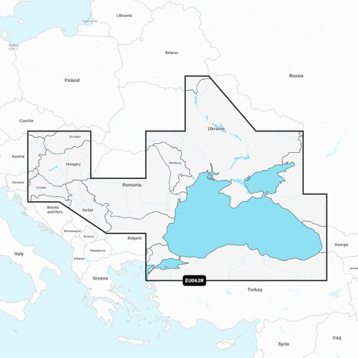
The Garmin Navionics Vision+ NVEU063R features comprehensive coverage of the Dardanelles, the Sea of Marmara, the Bosporus Strait, the Black Sea, the Dnieper River to the Belarus/Ukrainian border, the Bug River to Nikolayev, the Kuban River to Krasnodar, the Danube River from its Vienna to its delta, the Sava River, the Danube - Black Sea Canal, Lake Balaton, Lake Ferto, the Tisa River to Lake Tisza, and the Sea of Azov. With detailed coverage of major cities such as Varna, Constanta, Odessa, Nikolayev, Sevastopol, Mariupol, Taganrog, Temryuk, Novorossiysk, Batumi, Hopa, Samsun, Eregli, Istanbul, and Canakkale, you'll have the most accurate and reliable charts at your fingertips.
The Garmin Navionics Vision+ NVEU063R also includes a one-year subscription, giving you access to daily chart updates via the ActiveCaptain app. With Auto Guidance+ technology, you'll receive a suggested dock-to-dock path to follow through channels, inlets, marina entrances, and more. The chart also features depth range shading, allowing you to select up to 10 color-shaded options and view your designated target depths at a glance. Additionally, up to 1' contours provide a clear depiction of bottom structure, making it easier to find the best fishing spots.
The Garmin Navionics Vision+ NVEU063R is designed to provide you with unparalleled situational awareness, featuring downloadable high-resolution satellite imagery, crystal-clear aerial and surface photos of ports, marinas, bridges, docks, boat ramps, dams, and navigational landmarks. The 3D Fisheye View and 3D Marinereye View provide a lifelike representation of the underwater environment, while the Dynamic Lake Level feature allows you to adjust your maps to the lake's current water levels.
Experience the ultimate in marine navigation with the Garmin Navionics Vision+ NVEU063R - Black Sea & Azov Sea - Marine Chart. Compatible with a range of Garmin chartplotters, this SD/MSD card is easy to install and comes with a one-year subscription to ensure you have the most up-to-date charts. With its unparalleled accuracy, detailed coverage, and innovative features, this chartplotter is a must-have for anyone who spends time on the water.
Whether you're a seasoned mariner, a casual boater, or an avid fisherman, the Garmin Navionics Vision+ NVEU063R - Black Sea & Azov Sea - Marine Chart is the ultimate navigation solution. With its unparalleled accuracy, detailed coverage, and innovative features, this chartplotter will take your on-water experience to the next level. So why wait? Get your Garmin Navionics Vision+ NVEU063R today and start exploring the world's oceans with confidence!